Reseña del libro "world regional maps coloring book (en Inglés)"
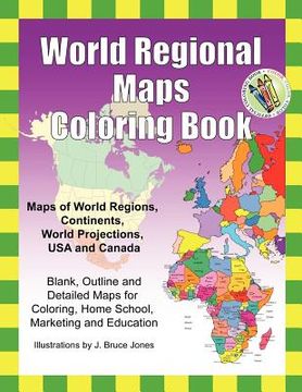
World Regions Coloring Book with blank and outline maps is great for learning world regional geography, coloring, homeschool, and education.Learn and color blank and outline maps of the world and its regions.Each blank, outline, printable continent map is presented with a detailed version with political borders, country, capitals, major city names and country name, and then an outline map with just country names and a blank outline map without any of the information, great to color however you want.Students can trace the outlines of the map, study and highlight continents and features on the blank map.A great resource for students and teachers.Black outline blank world maps included in the coloring book are: World Maps - Robinson ProjectionWorld Maps - Mercator ProjectionUnited States Outline Maps, with and without namesCanada Maps, with and without namesWorld Regional and Continent Maps: Africa MapAsia MapAustralia, Oceania MapAustralia MapEurope MapMaps of North America including Canada, USA and MexicoSouth AmericaAntarctica MapAdditional world regions maps included are: Russia MapCentral America and the Caribbean MapCentral America MapEurope to the Ural Mountains MapEastern Europe MapEastern Europe - Balken Regional MapMiddle East MapMediterranean Regional MapLatin America MapScandinavia MapSoutheast Asia MapMaps come with and in a blank version without names. The printable, blank, outline regional maps in this coloring book can be freely photocopied by a teacher or parent for use in a classroom or for homeschool lessons. World Regional Maps Coloring Book, updated for 2019.

